

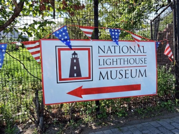
Located on the former site of the United States Lighthouse Service’s (USLHS) General Depot in St. George, Staten Island, the National Lighthouse Museum educates visitors about the history and technology of the nation’s lighthouses.
The General Depot was the national headquarters, testing ground, and distribution center for all materials and equipment used by light keepers and USLHS personnel from 1864 to 1939. Once a lively and bustling site of 18 buildings, today only 6 remain.
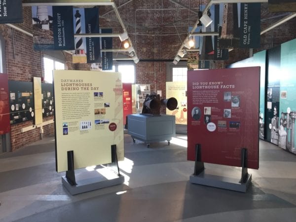
The Museum occupies the 2,400 square foot 1912 USLHS foundry building. Visitors are welcome to enjoy self-guided tours of the Museum exhibits including: Beacons Through Time, Supplying the Nation’s Light Stations: The General Depot, Optics: Projecting the Light, Life at the Light: Lighthouse Keepers, and much more!
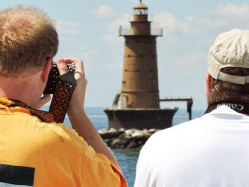
In addition to our self-guided exhibits, we offer monthly lectures, group tours by appointment, seasonal Lighthouse Boat Tours (May – October), and annual events like our Lighthouse Weekend (August) and Lighthouse Point Fest (September).


GET IN TOUCH
Have any questions?Want to schedule a group tour? Please contact us at info@lighthousemuseum.org or phone us at 718-390-0040